Your China & Yunnan Travel Experts


Practical answers for using China Maps.
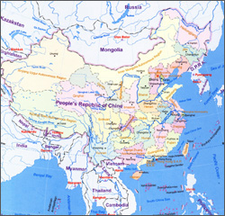
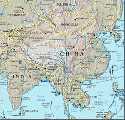
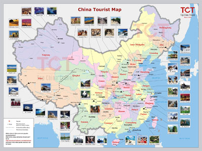
Choose the smallest useful scale: a national map for regions, a provincial map for gateways, a city map for neighborhoods and a site map for entrances or walking routes.
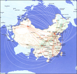
Not by distance alone. Terrain, station access, traffic, schedules and transfers change door-to-door time, so use the map to frame a route and then check live transport.
Check the map date, purpose, boundaries and legend. A historical or thematic map explains context but should not be treated as a current navigation source.
Recheck boundaries, operating transport, road access, opening areas and travel time. New roads or rail lines, temporary closures and operating restrictions may not appear in an older illustration.
Save the relevant page or image before travel where permitted, but also keep written hotel, station and attraction details. Offline access should not depend on one app or connection.
Mark gateways and priority places, cluster nearby stops, then compare the sequence with actual rail, flight or road connections. Keep remote branches optional until travel time is known.
Usually not in enough detail. Confirm gradients, stairs, surfaces, lifts, vehicle access, toilets and assistance directly for the stations and sites you plan to use.
Yes. Share the marked places and available days, and YunSky Travel can test the sequence against current transport, access and realistic transfer time.